15th September 1807: the Napoleonic land registry was created
The general plot land registry, known as "Napoleonic", was set up by the Finance Act dated 15th September 1807 (decree dated 27th January 1808). Like the land registry by crop mass and nature, it allowed for taxation by distribution, a fairer type of taxation since it took into account the rental value of each plot and the income of each owner.
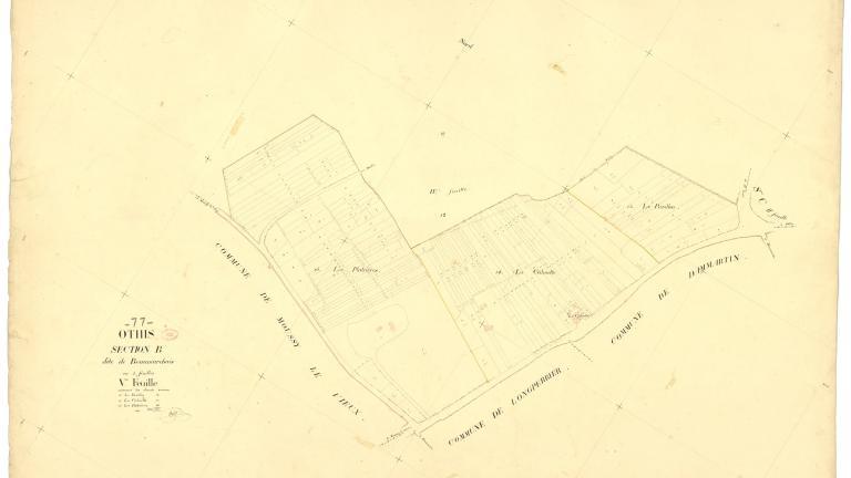
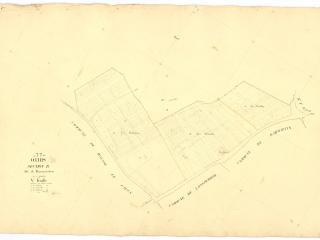
A "plot" was defined as a portion of land with the same type of crop and belonging to the same owner. To establish the land registry, the plots of land in each commune were surveyed, mapped and classified according to soil fertility. Properties, whether they were built (such as houses and buildings) or not (such as meadows, vineyards, fields and so on) were identified, along with each plot owner. The project, which included measuring, estimating and drawing plots of land in about 40,000 communes, i.e. several hundred million plots, would be carried out over several decades.
In addition to their fiscal purpose, cadastral documents also had an administrative purpose: proving property ownership. The land registry was made up of two main types of documents: topographical land documentation (plans) and handwritten land documentation (registers). Three documents were produced in the 19th century: the plan, the section status and the matrix. The plot plans showed every plot of land in the commune, with each plot being numbered. In section statuses, the plots of land in a section were listed by number and for each of them, the name of the owner, the nomenclature and the tax data on the date the land registry was drawn up were indicated. Cadastral matrices were registers indicating the list of plots belonging to each owner.
For each commune, cadastral plans were drawn up in two copies: the minute plan was kept in the commune and was the one on which the chief surveyor worked, and the "department" or "prefecture" copy was kept at the property tax office to which the commune belonged (there was one office per district). The latter copy was deposited in the Department archives.
The Napoleonic land registry plot plans were designed to be definitive and were not supposed to be updated. However, the land registry was redesigned from the 1930s to the 1970s. Revision through updating (since 1930) was carried out on the basis of the old map (the old boundaries were erased and replaced with the new ones). Faced with the difficulty of carrying out such revision, from 1941 onwards, renovation was carried out, which was a total overhaul of the map. New readings were taken. New maps, a new section status and new matrices were drawn up. The aim was to revise the property assessments used as the basis for taxation. One of the reforms followed the entry into force in 1955 of the obligation to publish land registry information with the Mortgage Registry. As a result of these reforms, the old references in the plot land registry were scrapped and a new numbering system was introduced: sections were now marked with a double letter ("AB" for example).